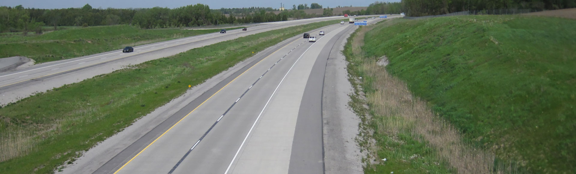
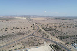
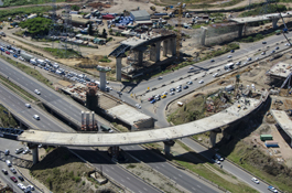
Highway 404 Extension
平滑Toronto-area traffic flow with environmentally sensitive greenfield construction
Ministry of Transportation Ontario | Canada | 2008-2014
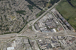
Newgreenfield extensionof Highway 404
Traffic flow increased
Roadinfrastructure upgraded
Environmentalsustainabilityimplemented
Challenges
- Widen Highway 404, one of the Toronto area's main transportation arteries, to accommodate increased traffic.
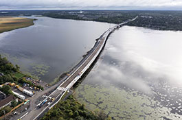
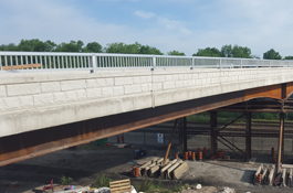
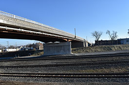
- Extend the highway, upgrading an existing partial interchange and adding 3 commuter parking lots, 2 new overpasses, 2 river crossings, and 5 stormwater management ponds.
- Relocate watermains and utilities.
- Manage public communications and information-sharing as important aspects of this greenfield construction.
Solutions
- Stormwater management ponds and traffic signals were created in addition to widening Highway 404's further intersections, water mains, overpasses, and river crossings,
- A new interchange was create at Queensville Side Road to allow access to the highway.
- An interchange at Doane was partially created to accommodate for traffic increase in the future.
Highlights
- A risk assessment workshop was held to review the proposed detailed design, identify and quantify potential risks, and recommend mitigative measures.
- An assessment for cost sharing between Ministry of Transportation Ontario and York Region was completed for the Doane Road interchange.
- Public communications and information sharing were important aspects of the work, as this was a greenfield construction project with two river crossings.
- In order to obtain the required environmental permitting and approvals, extensive liaison with agencies and key stakeholders was needed.
Project numbers
C$89 million construction cost2 new overpasses
2 river crossings
3 commuter parking lots
5 stormwater management ponds
Related services & technologies
What's your challenge?
Related projects
Highway 17 Noise Impact Assessment
Hewitson Creek, Ontario
Three Chain Road project
Australia
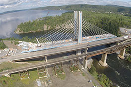
Kingston Third Crossing (Waaban Crossing)
Kingston, Ontario, Canada

Tugela River Pedestrian Bridge
South Africa
Réseau express métropolitain
Montréal, Québec, Canada
Sandton Rea Vaya Bus Rapid Transit Bridge
South Africa

East Harbour Transit Hub
Canada
Port Mann/Highway 1
Canada
Centennial Parkway
Canada
Umgeni Interchange
South Africa